A Geosite
What is a Geosite?
A Geosite is an area from a few square metres to a few square kilometres in size which has a geological and scientific importance and whose geological character meets one or more exceptional criteria. Within the Geopark there are eleven Geosites that one can visit such as Poulnabrone Dolmen, Doolin Cave, and the Cliffs of Moher.
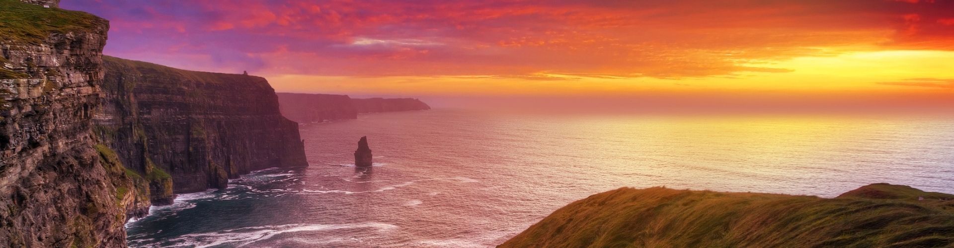
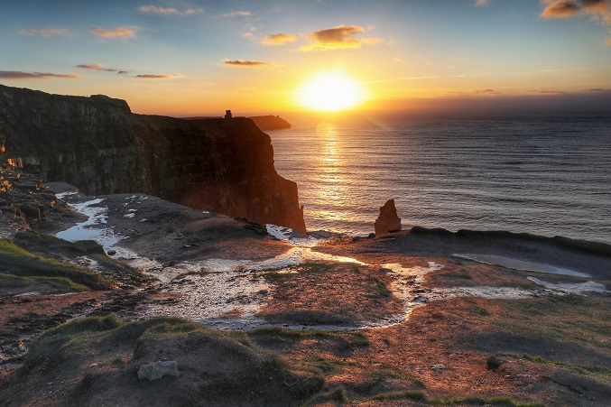
The Cliffs of Moher is one of the most well-known Geosites. The 8km of cliffs display a spectacular example of an ancient infilling marine sedimentary basin.
While the Burren area is renowned for its remarkable collection of plants and animals. It is equally unique below ground. Many caverns and caves exist throughout the Geopark. One of the many features of these caverns or caves are Stalagmites and Stalactites
Geosites in County Clare
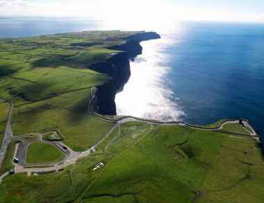
Cliffs of Moher
Standing 214m at their highest point, the Cliffs of Moher stretch along the Atlantic coast of County Clare. The Cliffs of Moher are one of Ireland’s most visited natural attractions. The most well known geosite in County Clare.
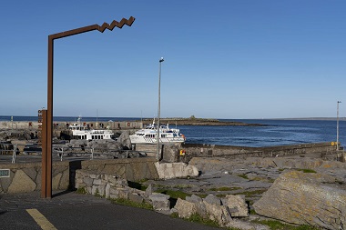
Doolin Pier
Doolin Pier is set against the rugged Atlantic Ocean and surrounded by the spectacular bare limestone landscape of the Burren. This discovery and embarkation point is in close proximity to Doolin village, a popular tourist destination that is renowned for its traditional Irish music.
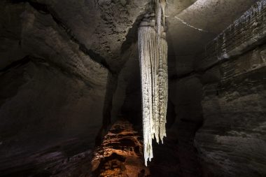
Doolin Cave
Doolin Cave (also known as Pol an Ionain) is located beneath a limestone valley. The valley is now blanketed by glacial rocks and clays. It probably was initially formed during warmer periods before the last ice age. Doolin Cave contains one of the longest stalactites in the world that is accessible to public visitors.
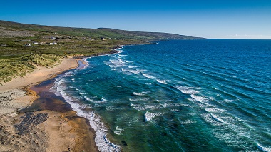
Fanore Beach
Fanore has a large sandy beach and extensive sand dune system. It is very popular with walkers, swimmers and surfers. The beach is located in close proximity to Fanore Village which includes a coffee shop, pub, shop and campsite. The caravan park is located within the adjacent dunes and there is car-parking and an access road off the R477 to the beach
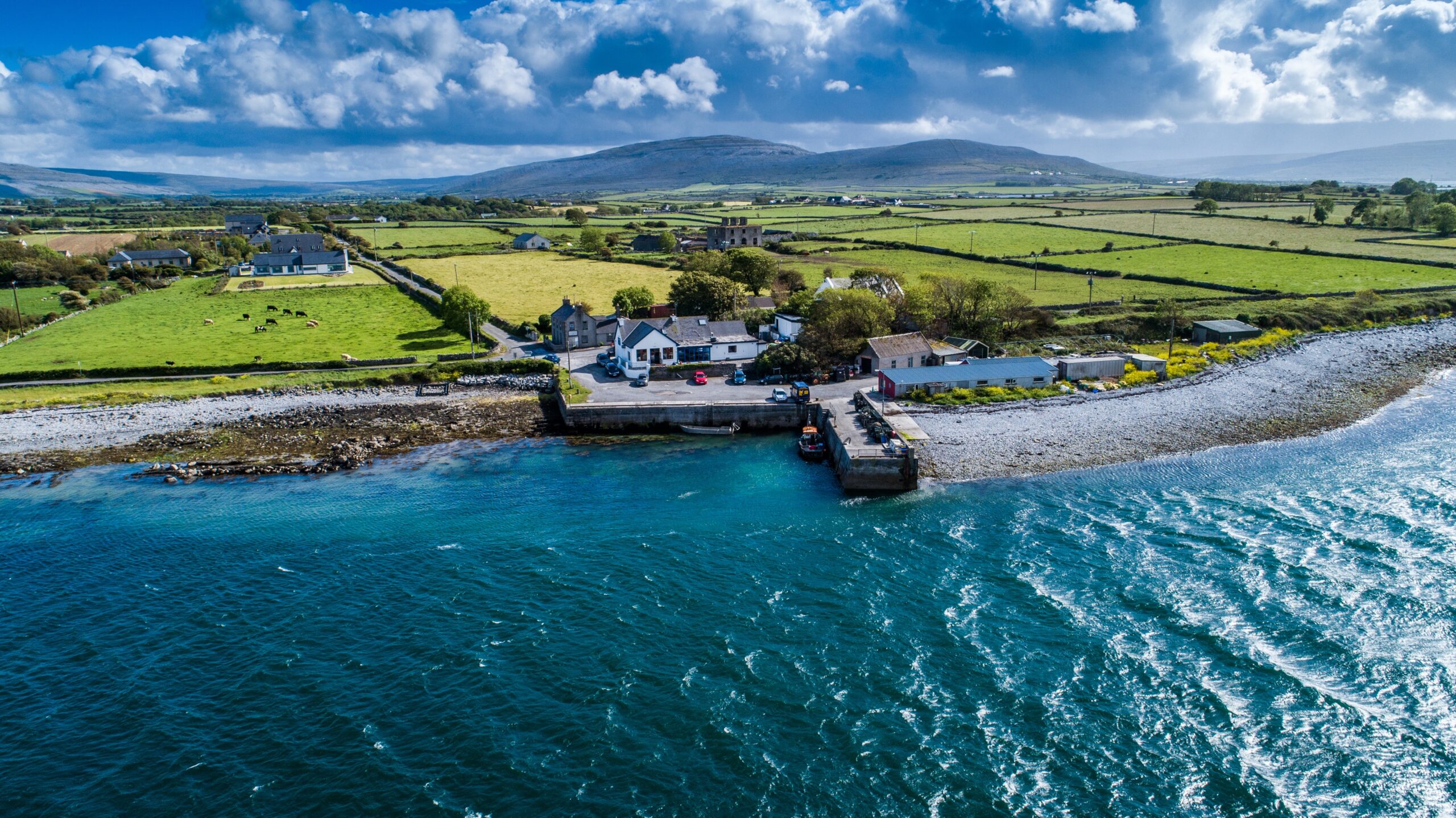
Flaggy Shore
The Flaggy Shore is one of the most northerly parts of County Clare. It stretches from the village of New Quay to Finvarra Point. The Flaggy Shore is one of nine sites of geological importance that form the basis of the Burren and Cliffs of Moher Geopark.
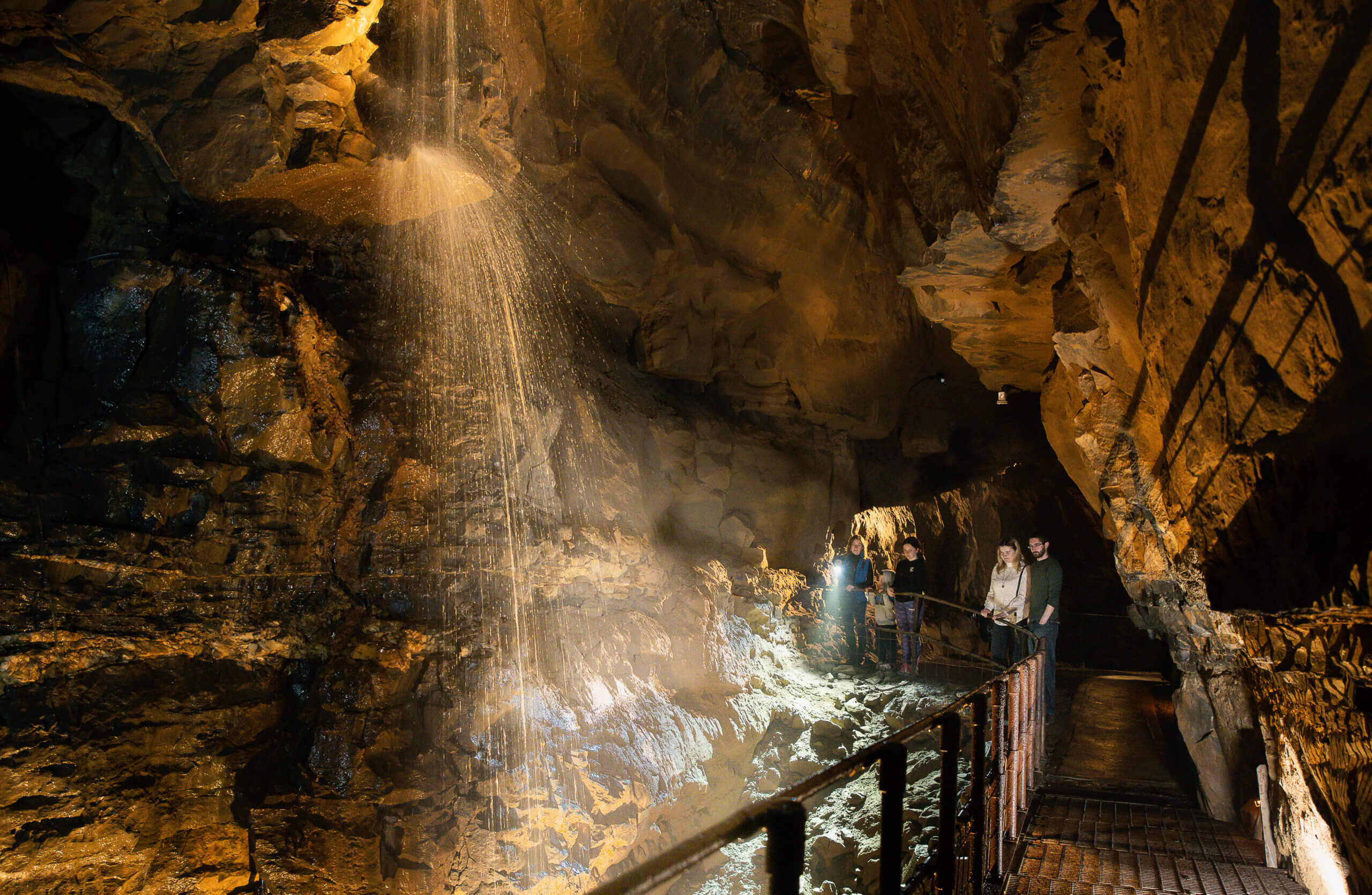
Aillwee Cave
Formed by water flowing through cracks in the limestone hill. It is one of the oldest caves in the Burren. Containing bear bones, stalactites, stalagmites and an underground waterfall.
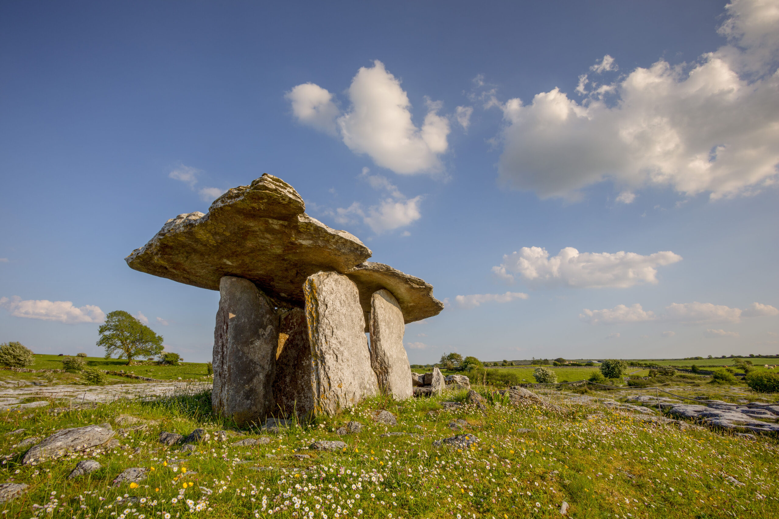
Poulnabrone Dolmen
Situated on the high Burren limestone plateau, Poulnabrone Dolmen is one of Ireland’s most iconic archaeological monuments. It is the second most visited location in the Burren after the Cliffs of Moher. Recognised as the oldest dated megalithic monument in Ireland.
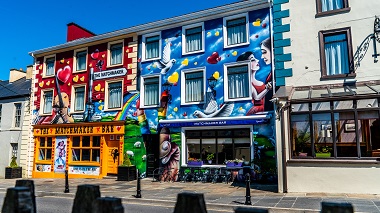
Lisdoonvarna Spa Wells
The town of Lisdoonvarna is built on a geological unit known as the Clare Shales. The Clare Shales lie directly on top of the limestone which comprises most of the Burren
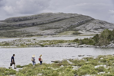
Burren National Park
The Burren National Park is almost 1,500 hectares of uplands in the southeast of the Burren. The area contains excellent examples of limestone pavement, calcareous grassland, hazel scrub, turloughs and fen.
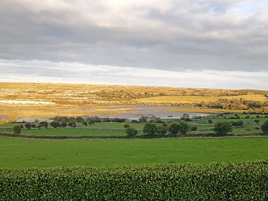
Carran Polje & Turlough
A Polje is a large flat-bottomed valley feature of limestone regions formed by prolonged dissolution. The Carron depression can be classified as a Polje. The Carron Polje is the largest enclosed depression in Ireland with an area of approx 4.5 square kilometres.
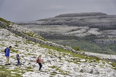
Slieve Carran
Slieve Carran Nature Reserve is managed by the National Parks and Wildlife Service. It is part of the East Burren Complex Special Area of Conservation.

