Book online only

Open 08:00 – 19:00

Location and directions

Location of the Cliffs of Moher

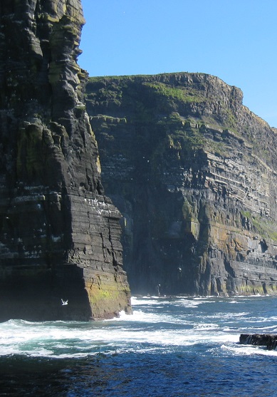
The Cliffs of Moher are located on the west coast of Ireland close to Liscannor village in Co. Clare.

Need directions?

The closest airport is Shannon International Airport, located one hour away. Shannon Airport has direct connections from the USA and mainland Europe serving the west coast of Ireland and the Wild Atlantic Way.

See Shannon Airport for all flight information.

GPS Co-ordinates:
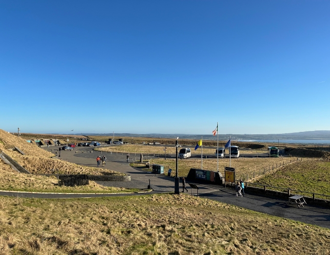
Visitor Centre 52.97201, -9.42592. Car park 52.97256, -9.42170.

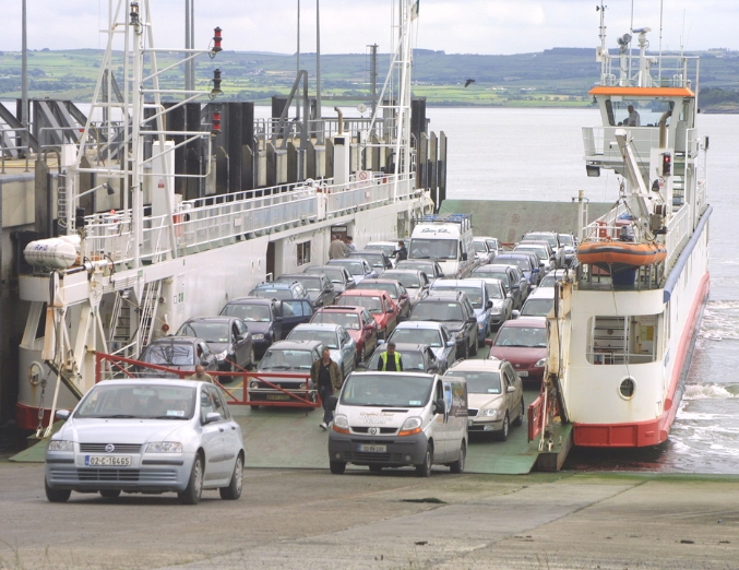
The Cliffs of Moher are easily accessed by road from Galway (90 minutes), Ennis (40 minutes), Limerick (75 minutes), and from the ferry which sails from Tarbert in Kerry to Killimer in Clare (45 minutes). Dublin is approximately 4 hours via Limerick.

Allow up to 2 hours for a visit to the Cliffs of Moher. We recommend staying overnight in the local towns and villages Co. Clare to make the most of your visit and enjoy the local culture and traditional Irish music – visit www.clare.ie

Cliffs from base of Stack

How to get to the Cliffs of Moher

Take the N18/M18 towards Ennis. From the M18 take the N85 exit marked Ennis/Ennistymon. (Junction 12)
Follow signs for Ennistymon on the N85 going through the village of Inagh. When you reach Ennistymon you will come to a sharp left turn onto the N67 (sign posted Lahinch). It is quite a tight bend so go slowly.

At Lahinch take a right turn onto the R478 (sign posted Cliffs of Moher)
Continue on this road for approximately 4km until you reach the village of Liscannor. Go through the village and follow the R478. Continue on the R478 for 5.6km, the entrance to the coach park is located on the left hand side and the car park is located on the right hand side.

Scenic Route: Leave Galway in the direction of Limerick using N67 (N18):

Follow N67 to Kilcolgan. In Kilcolgan take a right onto the N67 signposted Ballyvaughan & Cliffs of Moher. Go through the village of Kinvara and on towards Ballyvaughan along the N67. See directions from Ballyvaughan.

Journey time 1 hour 45 minutes.

Via the Motorway: Via M18 Motorway – Leave Galway following R336, R338, and Old Dublin Rd to N67.

Follow N67 and continue straight onto R458. Merge onto M18 following sign for Ennis/Limerick.

At Junction 12, take the N85 Exit to Ennis/Ennistymon/Kilrush.

Follow the N85 to Liscannor Road R478 in Lahinch.

Follow the R478 for 10km and the entrance to the car park will be on your right side.

Journey Time 1hr 36 mins.

In Ballyvaughan you have two options:

Option 1: Take the coast road (R477).  This is a very scenic route which gives lots of views of the Burren and Galway Bay.  However this adds approximately 20 minutes to your journey time. Follow the R477 through Fanore and join the R479 and then the R478 near Doolin. Stay on the R478 till you reach the Cliffs of Moher.

Option 2: Take the N67 towards Lisdoonvarna which takes you up Corkscrew Hill a winding but scenic road that offers wonderful views over the Burren. You will reach the town of Lisdoonvarna and pass through it remaining on the N67. Turn right onto the R478 signposted for the Cliffs of Moher.

The entrance to the car park is on the left-hand side of the road.

Journey time from Ballyvaughan 45 minutes, from Lisdoonvarna approx. 25 minutes.

Loop Head in County Clare

How to get here by public transport?

Whether you are travelling by bus, coach, train or biking, here’s how to make your way to the Cliffs of Moher Experience.


Cliffs of Moher_Rainbow

Need a lift?

Hiking or Visiting the Cliffs of Moher and need a lift?

Cliffs of Moher Experience is partnering with The Taxi Company to bring you a transport service to and from the Cliffs of Moher Experience, Cliffs of Moher Coastal Walk Summer 2023.

• Operational 7 days per week
• Standard fares, terms and conditions apply.
• Phone: +353 (086) 6066761

Explore the Cliffs of Moher!