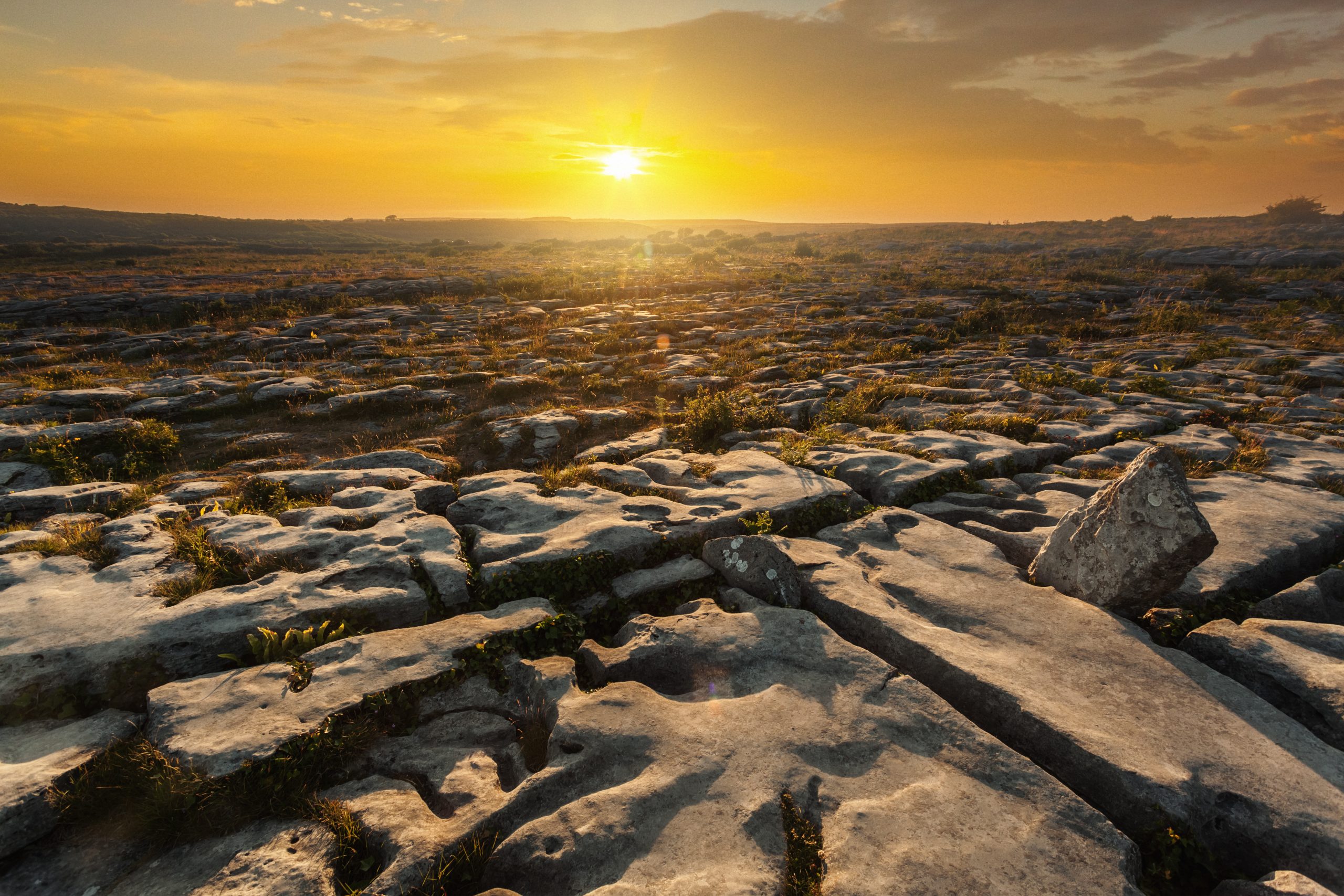

The Burren and Cliffs of Moher is Ireland’s newest UNESCO Geopark since 2011. It is a living landscape comprising people, place, learning and livelihood.
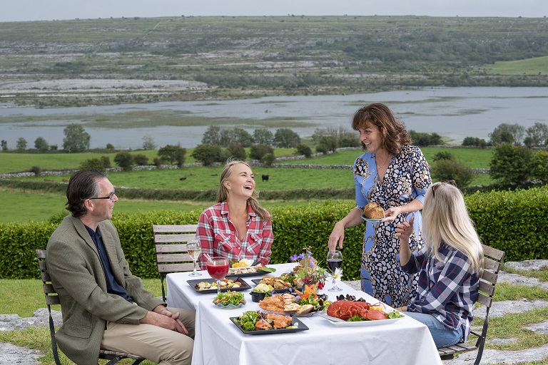
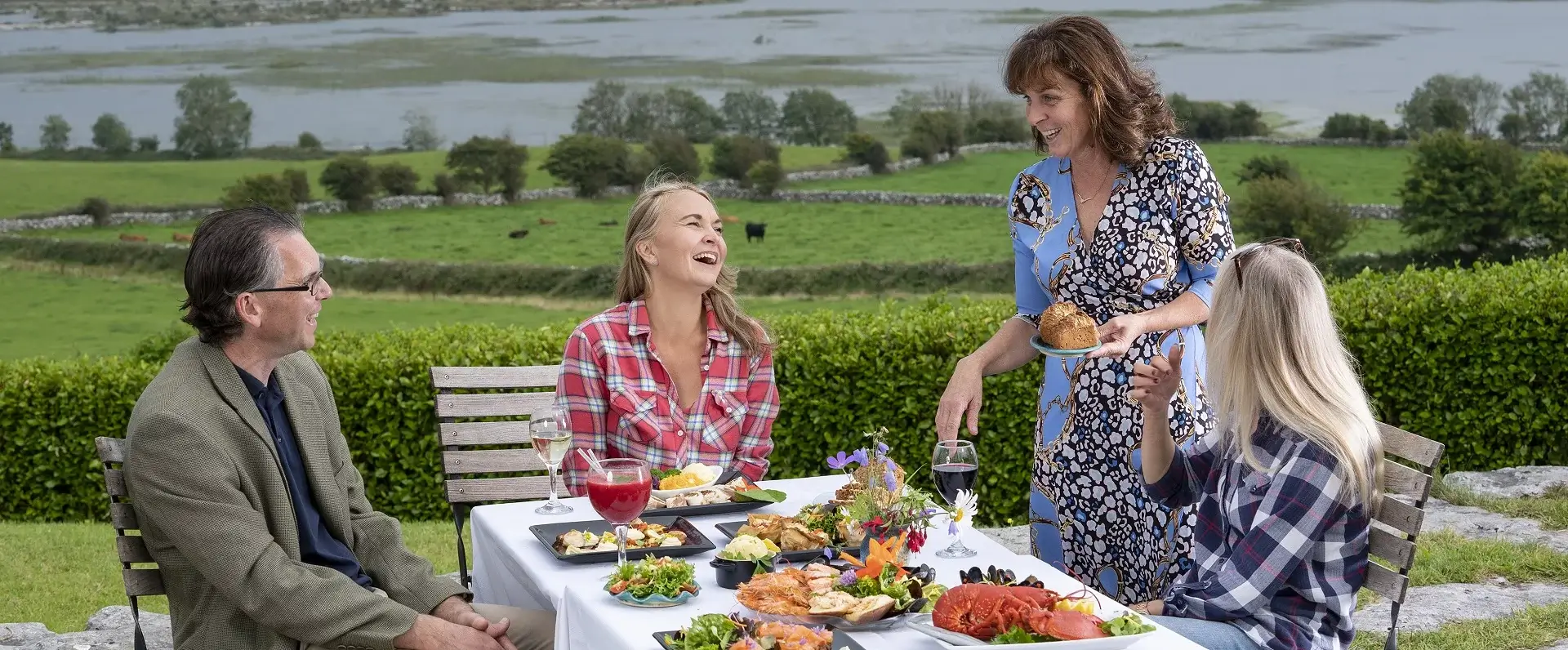
It has a strong network of eco-businesses living within its iconic landscape of karst limestone, caves, and cliffs. Local folklore and food are promoted through Farm Heritage Tours and the Burren Food Trail. The Geopark promotes its geology and sensitive hydrogeological system (underground waterways) through educational and outreach activities whilst pursuing strong practices in sustainable tourism.
![]()
Over 530 square kilometres the Burren and Cliffs of Moher UNESCO Geopark offers a diversity that is second to none. Natural beauty surrounds you from 214-metre-high Cliffs with 8 kilometres of rugged coastline, to the vast array of flora, including Arctic and Alpine flowers that surprisingly grow alongside Mediterranean species all in the heart of the Burren. There is also a staggering amount of history in the Burren region with over 2,700 recorded monuments, some dating back over 6,000 years, which makes them older than the pyramids at Giza.
This has led to the Burren & Cliffs of Moher Global Geopark being described as “unique – like no other place in Ireland”.
Some Quick Faqs
UNESCO stands for United Nations Educational, Scientific and Cultural Organisation. UNESCO was created after World War II. The idea was to build peace through international cooperation in Education, the Sciences and Culture. Its aim is to build dialogue and mutual understanding between countries. Allow access to quality education for everyone. Cultural heritage and the equal dignity of all cultures. Scientific programs and policies as platforms for development and cooperation. A laboratory of ideas, international standards and the free flow and sharing of knowledge.
UNESCO Global Geoparks are internationally recognised places with unique geology, landscapes, history, and culture. Geoparks are managed with a focus on education, conservation, sustainable tourism, and community engagement. UNESCO Global Geoparks are single, unified geographical areas where sites and landscapes of international geological significance are managed with a holistic concept of protection, education, and sustainable development. Their bottom-up approach of combining conservation with sustainable development while involving local communities has become increasingly popular. At present, there are 127 UNESCO Global Geoparks in 35 countries.
The Burren and Cliffs of Moher UNESCO Global Geopark adhere to the UNESCO criteria to celebrate heritage while conserving cultural, biological, and geological diversity, and promoting sustainable economic development.
We do this in the following ways:
- Our landscape tells a fascinating geological story that spans over 330 million years.
- Only here can you find an extraordinary botanical combination of Artic, Alpine and Mediterranean flowers growing side by side.
- We have over 3,000 archaeological monuments that record 6,000 years of history.
- We have farming and musical cultural traditions that are thriving and celebrated.
- Local communities feel a deep connection to their landscape, history and culture. These communities have a strong desire to manage this in a sustainable way for the benefit of all.
- The Geopark manages a Code of Practice for Sustainable Tourism Business, which the Burren Ecotourism Network commits to using.
- The Geopark is managed by Clare County Council in partnership with local communities, tourism businesses, organisations, and government agencies.
The Burren and Cliffs of Moher UNESCO Global Geopark is in Co. Clare in the West of Ireland. It covers an area of 530 square kilometres. Its boundary is marked to the West and North by the Atlantic coast, then runs South along the Clare county border to the village of Tubber and Westwards by the villages of Corofin, Kilfenora, Lisdoonvarna on to the Cliffs of Moher
Copper Coast Geopark
The smallest in the Global Network, the Copper Coast is in County Waterford. It was established on its 19th-century copper mining heritage, through the drive of 5 local communities. Its geological highlights include the coastal exposures of volcanic rocks that host the copper; red desert-type rocks and glacially sculpted landscape. The mining legacy has been brought to life through the refurbishment of the Tankardstown Engine House, with exhibitions and 3D animations in the Geopark Visitor Centre. Opened by An Taoiseach in 2013, it was one of the first Geoparks to join the European Geopark Network in 2001. Learn more
Cuilcagh Lakelands Geopark
Cuilcagh Lakelands Geopark previously known as Marble Arch Caves became the world’s first cross-border Global Geopark when it expanded from County Fermanagh into County Cavan in 2008. Aside from its spectacular show caves in Carboniferous limestone, the Geopark has a great geological diversity from the oldest (Dalradian) rocks in Northern Ireland, to impressive glacial erratics. The Geopark works closely with education providers to offer a wide range of educational services. Through a successful Local Tour Guides programme, it helped bring together its communities. It was one of the first Geoparks to join the European Geopark Network (EGN) in 2001.
The Burren Discovery Trail
Explore the inner Burren with this looped touring route taking in key locations on this Discovery Trail. Drive through mystical landscapes over 330 million years in the making.
Download the Burren Discovery Trail Map and explore the trail now.


